Scientific Solutions for Managing Floods
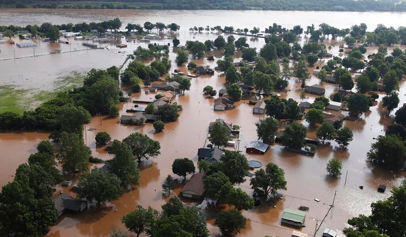
Flooding is a recurring disaster, causing loss of lives and damage to livelihood systems and property in India and several parts of the world. To provide a comparative perspective on mitigating, preventing and ultimately protecting citizens from floods and their aftermath, Columbia Global Centers | Mumbai partnered with Columbia Global Centers | Nairobi and the University of Nairobi for a webinar held on July 1, 2020. The webinar featured Professor John Mutter from the School of International and Public Affairs at Columbia University, Ms. Susmita Sengupta, Program Manager at the Center for Science and Environment in India, Ms. Agnes Mbugua from Kenya’s Ministry of Water, Sanitation and Irrigation, Dr. Beth Tellman, Post-doctoral Research Scientist at Columbia’s Earth Institute, and Dr. John Paul Odhiambo Obiero and Dr. Johannes Orodi from the Department of Environmental Bio-systems Engineering, University of Nairobi.
Identifying the drivers of urban floods in Kenya and India, climate change, densification of residential areas, overdevelopment of infrastructure, and urban sprawl were identified as causes for the increase in frequency and intensity of floods. Ms. Sengupta shared examples from the northeastern and southern parts of India, highlighting the role played by wetlands to accommodate excess water and the criticality of provisioning for their protection. Ms. Mbugua advocated structural forms as a prevention strategy, including aquifer storage and recovery, floodwater diversion and storage, and development of green infrastructure.
As part of the discussion on solutions, Dr. Obiero proposed ‘hydrological modelling’ for flood hazard mapping to provide information on inundation areas and inundation depths to help identify risk areas. This emphasis on forecasting was corroborated by Dr. Tellman who cited her experience of working in Bangladesh and Congo where satellite maps were used extensively by insurance companies to map flood areas and the intensity of damage to be able to decide the compensation for farmers in those areas. While acknowledging that predictions systems supported by satellite mapping are useful and have reduced the impact of the coastal floods, Professor Mutter pointed to the urgency of planning for the increasing frequency of flash floods, especially with changing climate and rising global temperature.
Responding to questions from the audience, panelists also discussed the issue of groundwater recharge and avoiding pollution of ground and surface water as well as ways to bring precision in flood forecasting. The webinar underscored the importance of effective policy and planning as well as integration of flood forecasting and mapping technology to avoid and mitigate flood-related disasters.